
Wasso topographic map
Click on the map to display elevation.
About this map
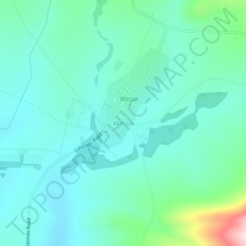
Name: Wasso topographic map, elevation, terrain.
Location: Wasso, Ngorongoro, Arusha, Northern Zone, Tanzania (-2.08343 35.54059 -2.04343 35.58059)
Average elevation: 6,755 ft
Minimum elevation: 6,526 ft
Maximum elevation: 7,723 ft
Other topographic maps
Click on a map to view its topography, its elevation and its terrain.
Monduli
A number of isolated mountains (Monduli, Lepurko, Loosimingori, and Lengai) and broad rolling plains characterize the land landscape. The heights range from 600m in the low elevations to 2900m in the high elevations. The District's vegetation includes a combination of forest, bushland, woodland grassland, and…
Average elevation: 4,491 ft
Karatu
Karatu District (Wilaya ya Karatu, in Swahili) is one of seven districts of the Arusha Region of Tanzania. The district is bordered to the north by the Ngorongoro District and to the west by the Meatu District in the Simiyu Region. The district is bordered to the east by the Monduli District, and to the south…
Average elevation: 4,816 ft
Ngorongoro Conservation Area
The southern and eastern boundaries of the Serengeti ecosystem are approximately defined by the rim of the East African Rift wall, which also prevents animal migration in these directions. In the topographical map, Lake Nyanza is the same as Lake Victoria in the Serengeti Ecosystem map.
Average elevation: 5,262 ft
Monduli
A number of isolated mountains (Monduli, Lepurko, Loosimingori, and Lengai) and broad rolling plains characterize the land landscape. The heights range from 600m in the low elevations to 2900m in the high elevations. The District's vegetation includes a combination of forest, bushland, woodland grassland, and…
Average elevation: 4,491 ft