Geolocate

Lodgepole topographic map

Click on the map to display elevation.

About this map

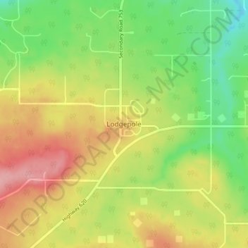
Name: Lodgepole topographic map, elevation, terrain.

Location: Lodgepole, Brazeau County, Alberta, Canada (53.07957 -115.33706 53.11957 -115.29706)

Average elevation: 3,002 ft

Minimum elevation: 2,822 ft

Maximum elevation: 3,205 ft

Gear up for your next adventure:

📌Outdoor GPS Map App - Apps and devices for digital topographic navigation
🧤Hiking Gloves - Protective gloves for rugged trails
🎒Trail Energy Bars - High‑calorie bars for hiking energy
🛠️Backpacking Tool Kit - Essential toolkit for outdoor repairs
📶Satellite Messenger - Communication device off‑grid

As an Amazon Associate, this site earns from qualifying purchases at no extra cost to you.