
双浦镇 topographic map
Interactive map
Click on the map to display elevation.
About this map
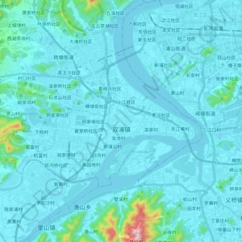
Name: 双浦镇 topographic map, elevation, terrain.
Location: 双浦镇, 西湖区, 杭州市, 浙江省, 中国 (30.07770 119.99736 30.16293 120.17680)
Average elevation: 105 ft
Minimum elevation: -10 ft
Maximum elevation: 1,683 ft
Other topographic maps
Click on a map to view its topography, its elevation and its terrain.