
北山街道 topographic map
Interactive map
Click on the map to display elevation.
About this map
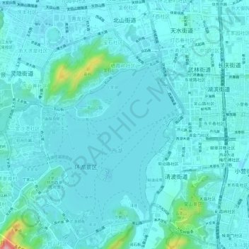
Name: 北山街道 topographic map, elevation, terrain.
Location: 北山街道, 西湖区, 杭州市, 浙江省, 中国 (30.22686 120.12506 30.27501 120.15793)
Average elevation: 66 ft
Minimum elevation: 3 ft
Maximum elevation: 591 ft
Other topographic maps
Click on a map to view its topography, its elevation and its terrain.