
Make a donation
Gear up for your next adventure:
As an Amazon Associate, this site earns from qualifying purchases at no extra cost to you.
Pilger topographic map
Click on the map to display elevation.
Make a donation
Gear up for your next adventure:
As an Amazon Associate, this site earns from qualifying purchases at no extra cost to you.
About this map
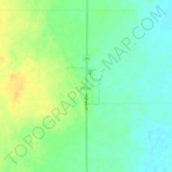
Name: Pilger topographic map, elevation, terrain.
Location: Pilger, Division No. 15, Saskatchewan, Canada (52.41980 -105.27305 52.42565 -105.26440)
Average elevation: 1,886 ft
Minimum elevation: 1,844 ft
Maximum elevation: 1,942 ft
Make a donation
Gear up for your next adventure:
As an Amazon Associate, this site earns from qualifying purchases at no extra cost to you.
Other topographic maps
Click on a map to view its topography, its elevation and its terrain.
Jumping Lake
Canada > Saskatchewan > Division No. 15 > Invergordon No. 430 > Waitville
Average elevation: 1,640 ft
Make a donation
Gear up for your next adventure:
As an Amazon Associate, this site earns from qualifying purchases at no extra cost to you.