
庞光街道 topographic map
Interactive map
Click on the map to display elevation.
About this map
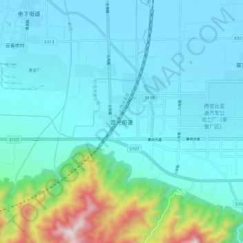
Name: 庞光街道 topographic map, elevation, terrain.
Location: 庞光街道, 西安市, 陕西省, 中国 (33.98889 108.62194 34.06889 108.70194)
Average elevation: 1,896 ft
Minimum elevation: 1,385 ft
Maximum elevation: 4,649 ft
Other topographic maps
Click on a map to view its topography, its elevation and its terrain.