
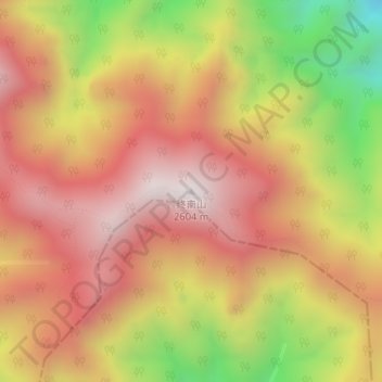
终南山 topographic map
Interactive map
Click on the map to display elevation.
About this map
Name: 终南山 topographic map, elevation, terrain.
Location: 终南山, 西安市, 陕西省, 中国 (33.92430 109.04550 33.92440 109.04560)
Average elevation: 7,185 ft
Minimum elevation: 5,315 ft
Maximum elevation: 8,425 ft
Other topographic maps
Click on a map to view its topography, its elevation and its terrain.