
秦渡街道 topographic map
Interactive map
Click on the map to display elevation.
About this map
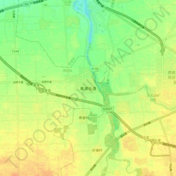
Name: 秦渡街道 topographic map, elevation, terrain.
Location: 秦渡街道, 西安市, 陕西省, 中国 (34.06672 108.70986 34.14672 108.78986)
Average elevation: 1,358 ft
Minimum elevation: 1,299 ft
Maximum elevation: 1,404 ft
Other topographic maps
Click on a map to view its topography, its elevation and its terrain.