
Chouteau topographic map
Click on the map to display elevation.
About this map
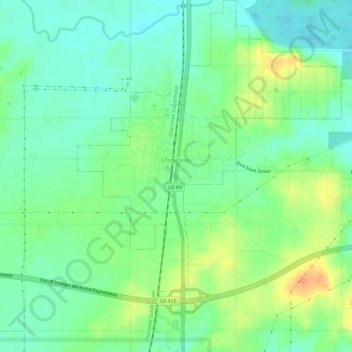
Name: Chouteau topographic map, elevation, terrain.
Location: Chouteau, Mayes County, Oklahoma, United States (36.15955 -95.35982 36.20776 -95.31496)
Average elevation: 623 ft
Minimum elevation: 568 ft
Maximum elevation: 725 ft
Mayes County trails, hiking, mountain biking, running and outdoor activities
Other topographic maps
Click on a map to view its topography, its elevation and its terrain.