
Rogers topographic map
Click on the map to display elevation.
About this map
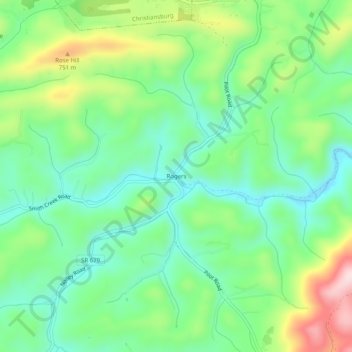
Name: Rogers topographic map, elevation, terrain.
Location: Rogers, Montgomery County, Virginia, 20473, United States (37.07180 -80.41005 37.11180 -80.37005)
Average elevation: 2,093 ft
Minimum elevation: 1,755 ft
Maximum elevation: 2,789 ft
Montgomery County trails, hiking, mountain biking, running and outdoor activities
Other topographic maps
Click on a map to view its topography, its elevation and its terrain.