Geolocate

Cristo Rey topographic map

Click on the map to display elevation.

About this map

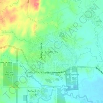
Name: Cristo Rey topographic map, elevation, terrain.

Location: Cristo Rey, Capas, Tarlac, Central Luzon, Philippines (15.34090 120.51705 15.38090 120.55705)

Average elevation: 246 ft

Minimum elevation: 174 ft

Maximum elevation: 410 ft

Other topographic maps

Click on a map to view its topography, its elevation and its terrain.

Tambo Lake

Philippines > Tarlac > Capas

Average elevation: 958 ft

O' Donnel River

Philippines > Tarlac > Capas

Average elevation: 728 ft

Gear up for your next adventure:

🦶Hiking Gaiters - Keep debris and water out of your boots
🔭Telescopic Hiking Pole - Adjustable pole for hiking stability
📡GPS Antenna Upgrade - Enhance GPS reception in remote terrain
🗻Climbing Gear Basics - Essential gear for beginner climbers
🧭GPS Watch Accessories - Bands and chargers for GPS watches

As an Amazon Associate, this site earns from qualifying purchases at no extra cost to you.