Geolocate

Otisco topographic map

Click on the map to display elevation.

About this map

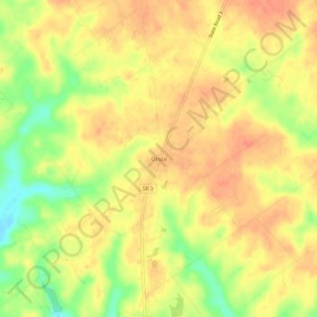
Name: Otisco topographic map, elevation, terrain.

Location: Otisco, Clark County, Indiana, 47163, United States (38.52228 -85.68719 38.56228 -85.64719)

Average elevation: 650 ft

Minimum elevation: 548 ft

Maximum elevation: 702 ft

Clark County trails, hiking, mountain biking, running and outdoor activities

Other topographic maps

Click on a map to view its topography, its elevation and its terrain.

Oak Park

United States > Indiana > Clark County

Average elevation: 459 ft

New Washington

United States > Indiana > Clark County

Average elevation: 702 ft

Utica

United States > Indiana > Clark County

Average elevation: 466 ft

Memphis

United States > Indiana > Clark County

Average elevation: 502 ft

Gear up for your next adventure:

🚑Emergency Bivvies - Heat-reflective sleeping bags for survival situations
📦Dry Bags Set - Waterproof storage for electronics and clothes
🛡️Bear Spray Outdoor - Protection in bear country hikes
🧤Hiking Gloves - Protective gloves for rugged trails
📱Solar Portable Charger - Solar power bank for charging devices off‑grid

As an Amazon Associate, this site earns from qualifying purchases at no extra cost to you.