Geolocate

Wells topographic map

Click on the map to display elevation.

About this map

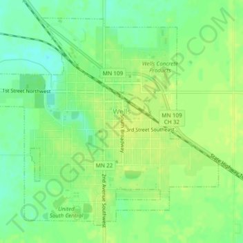
Name: Wells topographic map, elevation, terrain.

Location: Wells, Faribault County, Minnesota, United States (43.73139 -93.74454 43.75448 -93.71062)

Average elevation: 1,158 ft

Minimum elevation: 1,122 ft

Maximum elevation: 1,181 ft

Faribault County trails, hiking, mountain biking, running and outdoor activities

Other topographic maps

Click on a map to view its topography, its elevation and its terrain.

Huntley

United States > Minnesota > Faribault County

Average elevation: 1,093 ft

Gear up for your next adventure:

🎒Outdoor Daypacks - Lightweight backpacks designed for carrying maps and essential gear
🪶Paracord Bracelet - Survival bracelet with built‑in tools
❄️Traction Cleats - Prevent slips on icy trails during winter hikes
🪑Portable Camp Table - Compact table for campsite meals
🪑Ultralight Camp Chairs - Portable seating for resting after a long day of mapping

As an Amazon Associate, this site earns from qualifying purchases at no extra cost to you.