Geolocate

Merwin topographic map

Click on the map to display elevation.

About this map

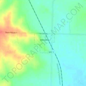
Name: Merwin topographic map, elevation, terrain.

Location: Merwin, Bates County, Missouri, United States (38.40062 -94.59493 38.40685 -94.58680)

Average elevation: 925 ft

Minimum elevation: 866 ft

Maximum elevation: 1,037 ft

Bates County trails, hiking, mountain biking, running and outdoor activities

Other topographic maps

Click on a map to view its topography, its elevation and its terrain.

Johnstown

United States > Missouri > Bates County

Average elevation: 823 ft

Hudson

United States > Missouri > Bates County

Average elevation: 873 ft

Gear up for your next adventure:

🪓Survival Multi‑Tool - Versatile tool for camp and trail tasks
🪶Survival Guide Book - Expert advice for emergency preparedness
🧥Waterproof Jacket for Hiking - Breathable and rugged rain jacket for outdoor excursions
🖼️Topo Map Wall Art - Decorative topographic prints of famous peaks and regions
🍳Camping Cook Set - Complete cookware for outdoor meals

As an Amazon Associate, this site earns from qualifying purchases at no extra cost to you.