Geolocate

Stacy topographic map

Click on the map to display elevation.

About this map

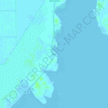
Name: Stacy topographic map, elevation, terrain.

Location: Stacy, Carteret County, North Carolina, 28581, United States (34.82989 -76.43575 34.86989 -76.39575)

Average elevation: 3 ft

Minimum elevation: -7 ft

Maximum elevation: 30 ft

Other topographic maps

Click on a map to view its topography, its elevation and its terrain.

Newport

United States > North Carolina > Carteret County

Average elevation: 20 ft

Gear up for your next adventure:

🧴Hand Sanitizer - Keep hands clean while hiking
🌡️Portable Weather Meter - Track weather conditions on the trail
📻Weather Alert Radios - Stay informed of storm risks while off-the-grid
🥾Hiking Shoes - Durable and comfortable shoes for trail hiking
🔪Outdoor Multitools - Essential survival tools for gear repair and field use

As an Amazon Associate, this site earns from qualifying purchases at no extra cost to you.