
Pukatja topographic map
Click on the map to display elevation.
About this map
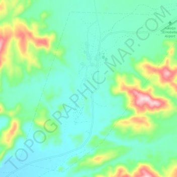
Name: Pukatja topographic map, elevation, terrain.
Average elevation: 2,408 ft
Minimum elevation: 2,087 ft
Maximum elevation: 3,389 ft
Other topographic maps
Click on a map to view its topography, its elevation and its terrain.
Marble Hill
Australia > South Australia > Anangu Pitjantjatjara Yankunytjatjara
Average elevation: 1,575 ft
Mount Woodroffe
Australia > South Australia > Anangu Pitjantjatjara Yankunytjatjara
Average elevation: 3,786 ft
Musgrave Ranges
Australia > South Australia > Anangu Pitjantjatjara Yankunytjatjara
Average elevation: 3,458 ft