
冷水镇 topographic map
Interactive map
Click on the map to display elevation.
About this map
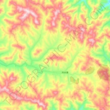
Name: 冷水镇 topographic map, elevation, terrain.
Location: 冷水镇, 栾川县, 洛阳市, 河南省, 中国 (33.88968 111.40188 33.98066 111.50020)
Average elevation: 4,636 ft
Minimum elevation: 3,606 ft
Maximum elevation: 5,486 ft
Other topographic maps
Click on a map to view its topography, its elevation and its terrain.