
Kuala Kangsar topographic map
Click on the map to display elevation.
About this map
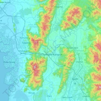
Name: Kuala Kangsar topographic map, elevation, terrain.
Location: Kuala Kangsar, Perak, Malaysia (4.52209 100.73876 5.07553 101.45517)
Average elevation: 702 ft
Minimum elevation: -36 ft
Maximum elevation: 5,443 ft
Other topographic maps
Click on a map to view its topography, its elevation and its terrain.