Geolocate

Galston topographic map

Click on the map to display elevation.

About this map
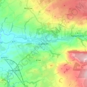
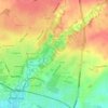
Name: Galston topographic map, elevation, terrain.

Location: Galston, East Ayrshire, Scotland, KA4 8HG, United Kingdom (55.56041 -4.41975 55.64041 -4.33975)

Average elevation: 413 ft

Minimum elevation: 98 ft

Maximum elevation: 974 ft

Other topographic maps

Click on a map to view its topography, its elevation and its terrain.

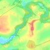
Braid Wood

United Kingdom > Scotland > East Ayrshire

Average elevation: 374 ft

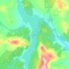
Glenbuck Loch

United Kingdom > Scotland > East Ayrshire

Average elevation: 1,073 ft

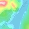
Loch Doon

United Kingdom > Scotland > East Ayrshire

Average elevation: 955 ft

River Doon

United Kingdom > Scotland > East Ayrshire > Dalrymple

Average elevation: 551 ft

River Ayr

United Kingdom > Scotland > East Ayrshire

Average elevation: 689 ft

Fenwick Moor

United Kingdom > Scotland > East Ayrshire > Kingsford

Average elevation: 630 ft

Gear up for your next adventure:

☀️Outdoor Sunscreen - High protection sunscreen for outdoor activities
🧷Carabiner Set - Durable clips for gear attachment
🥘Titanium Cookware - Durable, featherlight pots and pans for backpacking
🔋Solar Power Banks - Keep your GPS and phone charged in remote wilderness areas
👟Men's Trail Runners - Lightweight footwear for fast-paced exploration and light hiking

As an Amazon Associate, this site earns from qualifying purchases at no extra cost to you.