
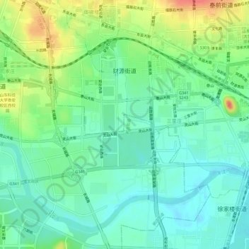
财源街道 topographic map
Interactive map
Click on the map to display elevation.
About this map
Name: 财源街道 topographic map, elevation, terrain.
Location: 财源街道, 泰山区, 泰安市, 山东省, 271000, 中国 (36.16181 117.06899 36.19538 117.12313)
Average elevation: 482 ft
Minimum elevation: 417 ft
Maximum elevation: 614 ft
Other topographic maps
Click on a map to view its topography, its elevation and its terrain.