Conklin topographic map
Click on the map to display elevation.
Conklin
Conklin is a hamlet in northern Alberta, Canada within the Regional Municipality (RM) of Wood Buffalo. It is located on Highway 881 between Fort McMurray and Lac La Biche. It lies near the west end of Christina Lake at an elevation of 575 metres (1,886 ft), and was named for John Conklin, a railroad employee.
About this map
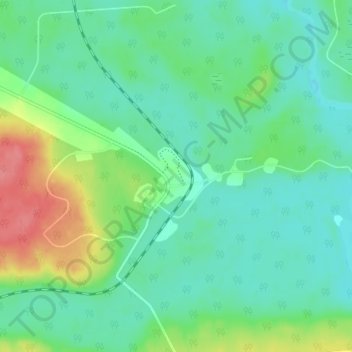
Name: Conklin topographic map, elevation, terrain.
Location: Conklin, Wood Buffalo, Alberta, T0P 1H0, Canada (55.61250 -111.10278 55.65250 -111.06278)
Average elevation: 1,873 ft
Minimum elevation: 1,808 ft
Maximum elevation: 2,044 ft
Other topographic maps
Click on a map to view its topography, its elevation and its terrain.