Geolocate

Marunji topographic map

Click on the map to display elevation.

About this map

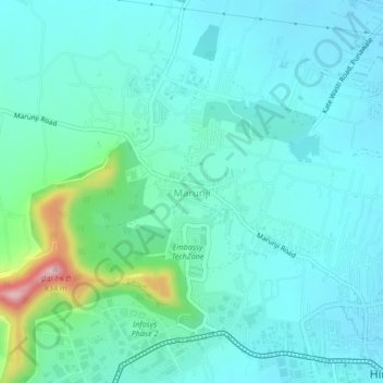
Name: Marunji topographic map, elevation, terrain.

Location: Marunji, Mulshi, Pune District, Maharashtra, 411057, India (18.59167 73.69565 18.63167 73.73565)

Average elevation: 2,037 ft

Minimum elevation: 1,893 ft

Maximum elevation: 2,726 ft

Other topographic maps

Click on a map to view its topography, its elevation and its terrain.

Aamby Valley

India > Maharashtra > Mulshi

Average elevation: 2,329 ft

Manas Lake

India > Maharashtra > Mulshi > Bhukum

Average elevation: 2,306 ft

Mulshi Lake

India > Maharashtra > Mulshi > Chachivali

Average elevation: 2,329 ft

Katarkhadak

India > Maharashtra > Mulshi

Average elevation: 2,657 ft

Mula

India > Maharashtra > Mulshi

Average elevation: 2,159 ft

Kasarsai

India > Maharashtra > Mulshi > Nere

Average elevation: 1,985 ft

Gear up for your next adventure:

🧤Tactile Hiking Gloves - Keep hands warm while operating GPS and smartphone screens
👖Convertible Hiking Pants - Versatile zip-off pants for changing altitudes and temperatures
🧭Pro Hiking Compasses - High-accuracy liquid-filled compasses for topographic orientation
🍳Camping Cook Set - Complete cookware for outdoor meals
🎒Outdoor Daypacks - Lightweight backpacks designed for carrying maps and essential gear

As an Amazon Associate, this site earns from qualifying purchases at no extra cost to you.