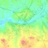
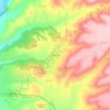
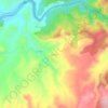
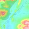
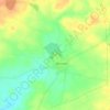
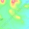
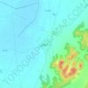
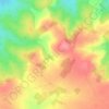
Seseña topographic map
Click on the map to display elevation.
Seseña
The municipality spans across a total area of 71.41 km2. To the north, the municipality borders the Madrid region. The northern part of Seseña reaches the highest altitude in the municipality, at around 684 metres above mean sea level, while the southern end close to the Jarama and Tagus rivers lies at around 500 metres.
About this map
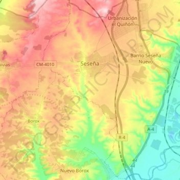
Name: Seseña topographic map, elevation, terrain.
Location: Seseña, Toledo, Castile-La Mancha, Spain (40.03367 -3.73395 40.14329 -3.60390)
Average elevation: 1,942 ft
Minimum elevation: 1,555 ft
Maximum elevation: 2,343 ft
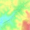
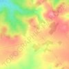
Other topographic maps
Click on a map to view its topography, its elevation and its terrain.