Geolocate

Don Julo topographic map

Click on the map to display elevation.

About this map

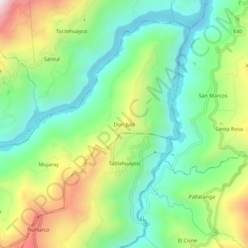
Name: Don Julo topographic map, elevation, terrain.

Location: Don Julo, Guachapala, Azuay, Ecuador (-2.75810 -78.67311 -2.71810 -78.63311)

Average elevation: 7,717 ft

Minimum elevation: 6,844 ft

Maximum elevation: 9,295 ft

Gear up for your next adventure:

🩳Quick‑Dry Hiking Shorts - Comfortable and quick‑dry shorts for summer hiking
🩹Survival Bandages - High‑quality bandages for emergencies
🏕️Tent Footprint - Protect your tent base from wear
💧Water Purification System - Clean water on the trail with reliable purifiers
🗺️Topographic Maps - Detailed topo maps for hiking, exploring and outdoor navigation

As an Amazon Associate, this site earns from qualifying purchases at no extra cost to you.