Geolocate

Morgan Hill topographic map

Click on the map to display elevation.

About this map

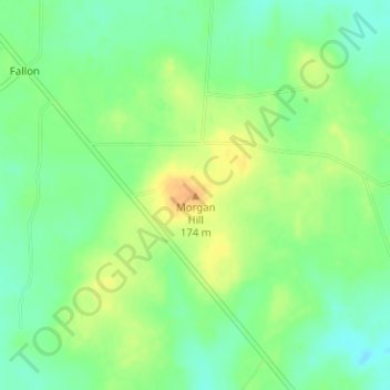
Name: Morgan Hill topographic map, elevation, terrain.

Location: Morgan Hill, Limestone County, Texas, United States (31.57234 -96.39253 31.57244 -96.39243)

Average elevation: 512 ft

Minimum elevation: 459 ft

Maximum elevation: 571 ft

Limestone County trails, hiking, mountain biking, running and outdoor activities

Other topographic maps

Click on a map to view its topography, its elevation and its terrain.

Lake Limestone

United States > Texas > Limestone County

Average elevation: 410 ft

Mexia

United States > Texas > Limestone County

Average elevation: 499 ft

Tehuacana

United States > Texas > Limestone County

Average elevation: 564 ft

Groesbeck

United States > Texas > Limestone County

Average elevation: 456 ft

Coolidge

United States > Texas > Limestone County

Average elevation: 538 ft

Gear up for your next adventure:

🔌USB Car Charger - Car charger for on‑the‑go power needs
🕶️GPS Smartphone Mount - Secure mount for phone navigation
🛡️Bear Spray Outdoor - Protection in bear country hikes
📌Outdoor GPS Map App - Apps and devices for digital topographic navigation
Backpacking Tent - Lightweight and durable tent for multi‑day hikes

As an Amazon Associate, this site earns from qualifying purchases at no extra cost to you.