
Aldeneik topographic map
Interactive map
Click on the map to display elevation.
About this map
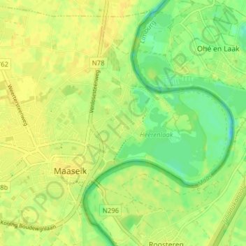
Name: Aldeneik topographic map, elevation, terrain.
Location: Aldeneik, Maaseik, Limburg, 3680, België (51.08252 5.78536 51.12252 5.82536)
Average elevation: 95 ft
Minimum elevation: 52 ft
Maximum elevation: 115 ft
Other topographic maps
Click on a map to view its topography, its elevation and its terrain.
Neeroeteren
België > Limburg > Maaseik > Maaseik
Neeroeteren, Maaseik, Limburg, 3680, België
Average elevation: 131 ft
Heppeneert
België > Limburg > Maaseik > Maaseik > Heppeneert
Heppeneert, Maaseik, Limburg, Vlaanderen, 3680, België
Average elevation: 98 ft