Geolocate

Ursa topographic map

Click on the map to display elevation.

About this map

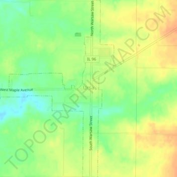
Name: Ursa topographic map, elevation, terrain.

Location: Ursa, Adams County, Illinois, United States (40.05991 -91.39515 40.08917 -91.36188)

Average elevation: 607 ft

Minimum elevation: 541 ft

Maximum elevation: 663 ft

Adams County trails, hiking, mountain biking, running and outdoor activities

Other topographic maps

Click on a map to view its topography, its elevation and its terrain.

Quincy

United States > Illinois > Adams County > Quincy

Average elevation: 594 ft

Northridge

United States > Illinois > Adams County > Quincy

Average elevation: 577 ft

McDonald Island

United States > Illinois > Adams County

Average elevation: 466 ft

Gear up for your next adventure:

🧭Orienteering Set - Complete compass and map reading kit
🧴Hand Sanitizer - Keep hands clean while hiking
🔌USB Car Charger - Car charger for on‑the‑go power needs
🧣Merino Neck Gaiters - Multi-functional headwear for wind and sun protection
😴Insulated Sleeping Pads - Compact and warm pads for high-elevation camping

As an Amazon Associate, this site earns from qualifying purchases at no extra cost to you.