

Reitlehen topographic map
Click on the map to display elevation.
About this map

Name: Reitlehen topographic map, elevation, terrain.
Average elevation: 3,432 ft
Minimum elevation: 2,582 ft
Maximum elevation: 6,453 ft
Other topographic maps
Click on a map to view its topography, its elevation and its terrain.
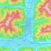
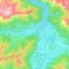
Zell am See
Austria > Salzburg > Bezirk Zell am See
Zell am See provides winter skiing on the above Schmittenhöhe mountain. The skiable area is approximately 138 km, including the pistes on the Kitzsteinhorn and Kaprun Maiskogel. The ski pass covers the whole area including transport to and from the glacier which is open most of the year, dependent on…
Average elevation: 3,668 ft
Zell am See
Austria > Salzburg > Bezirk Zell am See
Zell am See provides winter skiing on the above Schmittenhöhe mountain. The skiable area is around 138 km, including the pistes on the Kitzsteinhorn and Kaprun Maiskogel. The ski pass covers the whole area including transport to and from the glacier, which is open most of the year, dependent on snowfall. Zell…
Average elevation: 3,668 ft
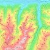
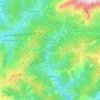
Kaprun
Austria > Salzburg > Bezirk Zell am See
Kaprun (German pronunciation: [kaˈpruːn]) is a municipality in the Zell am See District in the province of Salzburg in Austria. Together with the neighboring city of Zell am See the town presents itself as the tourist destination and skiing area "Zell am See-Kaprun". Kaprun distinguishes itself from its…
Average elevation: 5,968 ft

Bruck an der Großglocknerstraße
Austria > Salzburg > Bezirk Zell am See
The Grossglockner High Alpine Road, as a high-altitude mountain road, connects the two Austrian provinces of Salzburg and Carinthia. The span from Bruck to Heiligenblut along the road is 47.8 kilometres (29.7 mi) long. At Bruck-Fusch station the municipality has access to the Salzburg-Tyrol Railway line.
Average elevation: 3,789 ft
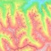
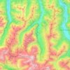
Krimml
Austria > Salzburg > Bezirk Zell am See
Krimml is situated on the Salzach river, at the southwestern rim of the upper (western) Pinzgau region near the border with Tyrol. It is located about 54 km (34 mi) west of the town of Mittersill and 54 km (34 mi) from the district capital Zell am See. The settlement's centre area is situated at an elevation…
Average elevation: 7,024 ft
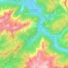
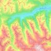
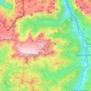
Neukirchen am Großvenediger
Austria > Salzburg > Bezirk Zell am See
Neukirchen am Großvenediger is a market town in the district of Zell am See (Pinzgau region), in the state of Salzburg in Austria. Neukirchen is at an altitude of 856 meters and its population (as of May 2001) is 2,616.
Average elevation: 6,457 ft
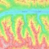
Mittersill
Austria > Salzburg > Bezirk Zell am See
It has traffic links running east to west and north to south. The Felbertauern road tunnel runs south through the Hohe Tauern at an elevation of about 1630 m, providing a connection with Lienz in East Tyrol. To the north lies the Thurn Pass at an elevation of 1274 m, providing a connection with Kitzbühel and…
Average elevation: 5,673 ft
Kaprun
Austria > Salzburg > Bezirk Zell am See
Kaprun (German pronunciation: [kaˈpruːn]) is a municipality in the Zell am See District in the province of Salzburg in Austria. Together with the neighboring city of Zell am See the town presents itself as the tourist destination and skiing area "Zell am See-Kaprun". Kaprun distinguishes itself from its…
Average elevation: 5,968 ft

Zell am See
Austria > Salzburg > Bezirk Zell am See
Zell am See provides winter skiing on the above Schmittenhöhe mountain. The skiable area is around 138 km, including the pistes on the Kitzsteinhorn and Kaprun Maiskogel. The ski pass covers the whole area including transport to and from the glacier, which is open most of the year, dependent on snowfall. Zell…
Average elevation: 3,668 ft
Kaprun
Austria > Salzburg > Bezirk Zell am See
Kaprun (German pronunciation: [kaˈpruːn]) is a municipality in the Zell am See District in the province of Salzburg in Austria. Together with the neighboring city of Zell am See the town presents itself as the tourist destination and skiing area "Zell am See-Kaprun". Kaprun distinguishes itself from its…
Average elevation: 5,968 ft

Neukirchen am Großvenediger
Austria > Salzburg > Bezirk Zell am See
Neukirchen am Großvenediger is a market town in the district of Zell am See (Pinzgau region), in the state of Salzburg in Austria. Neukirchen is at an altitude of 856 meters and its population (as of May 2001) is 2,616.
Average elevation: 6,457 ft
