
Dudhani topographic map
Interactive map
Click on the map to display elevation.
About this map
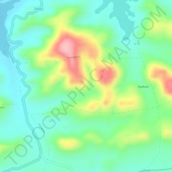
Name: Dudhani topographic map, elevation, terrain.
Location: Dudhani, Dharni, Amravati, Maharashtra, India (21.42760 76.78737 21.43645 76.81113)
Average elevation: 1,263 ft
Minimum elevation: 1,089 ft
Maximum elevation: 1,591 ft
Other topographic maps
Click on a map to view its topography, its elevation and its terrain.
Harisal
India > Maharashtra > Dharni
Harisal, Dharni, Amravati, Maharashtra, India
Average elevation: 1,312 ft