
Harisal topographic map
Interactive map
Click on the map to display elevation.
About this map
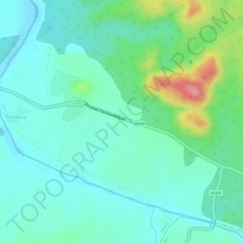
Name: Harisal topographic map, elevation, terrain.
Location: Harisal, Dharni, Amravati, Maharashtra, India (21.52050 77.10763 21.54698 77.13610)
Average elevation: 1,312 ft
Minimum elevation: 1,201 ft
Maximum elevation: 1,627 ft
Other topographic maps
Click on a map to view its topography, its elevation and its terrain.
Dudhani
India > Maharashtra > Dharni
Dudhani, Dharni, Amravati, Maharashtra, India
Average elevation: 1,263 ft