Geolocate

Redwater topographic map

Click on the map to display elevation.

About this map

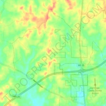
Name: Redwater topographic map, elevation, terrain.

Location: Redwater, Leake County, Mississippi, United States (32.75350 -89.59480 32.81066 -89.51297)

Average elevation: 430 ft

Minimum elevation: 344 ft

Maximum elevation: 538 ft

Leake County trails, hiking, mountain biking, running and outdoor activities

Other topographic maps

Click on a map to view its topography, its elevation and its terrain.

Standing Pine

United States > Mississippi > Leake County

Average elevation: 417 ft

Gear up for your next adventure:

🥘Titanium Cookware - Durable, featherlight pots and pans for backpacking
🌎3D Topographic Globes - Raised relief globes for a tactile understanding of geography
🥩Freeze-Dried Meals - Nutritious and lightweight food for remote expeditions
🪑Ultralight Camp Chairs - Portable seating for resting after a long day of mapping
🛡️Insect Repellent - Protection against bugs during outdoor activities

As an Amazon Associate, this site earns from qualifying purchases at no extra cost to you.