
Cedar Key topographic map
Click on the map to display elevation.
About this map
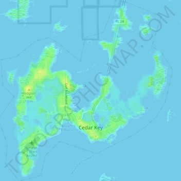
Name: Cedar Key topographic map, elevation, terrain.
Location: Cedar Key, Levy County, Florida, United States (29.12591 -83.05917 29.16568 -83.01530)
Average elevation: 7 ft
Minimum elevation: -7 ft
Maximum elevation: 59 ft
Levy County trails, hiking, mountain biking, running and outdoor activities
Other topographic maps
Click on a map to view its topography, its elevation and its terrain.