Geolocate

Mattawa topographic map

Click on the map to display elevation.

About this map

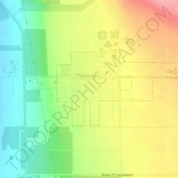
Name: Mattawa topographic map, elevation, terrain.

Location: Mattawa, Grant County, Washington, United States (46.73023 -119.91006 46.74150 -119.87474)

Average elevation: 732 ft

Minimum elevation: 568 ft

Maximum elevation: 915 ft

Grant County trails, hiking, mountain biking, running and outdoor activities

Other topographic maps

Click on a map to view its topography, its elevation and its terrain.

Stratford

United States > Washington > Grant County

Average elevation: 1,404 ft

Schwana

United States > Washington > Grant County

Average elevation: 705 ft

Lake Access Road

United States > Washington > Grant County

Average elevation: 2,297 ft

Carpenter Park

United States > Washington > Grant County > Moses Lake

Average elevation: 1,060 ft

Beverly

United States > Washington > Grant County

Average elevation: 636 ft

Moses Lake

United States > Washington > Grant County > Moses Lake > Moses Lake

Average elevation: 1,122 ft

McDonald

United States > Washington > Grant County > McDonald

Average elevation: 1,168 ft

Gear up for your next adventure:

📦Gear Storage Bags - Organize and protect outdoor equipment
🔌USB Car Charger - Car charger for on‑the‑go power needs
📡Handheld GPS Device - Reliable handheld GPS for outdoor navigation
📖Nature Tracking Books - Learn to track wildlife and terrain
🌎3D Topographic Globes - Raised relief globes for a tactile understanding of geography

As an Amazon Associate, this site earns from qualifying purchases at no extra cost to you.