
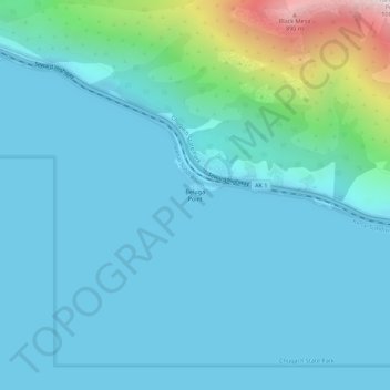
Beluga Point topographic map
Click on the map to display elevation.
About this map
Name: Beluga Point topographic map, elevation, terrain.
Location: Beluga Point, Anchorage, Alaska, United States (61.00479 -149.69421 61.00489 -149.69411)
Average elevation: 427 ft
Minimum elevation: 0 ft
Maximum elevation: 3,235 ft
Alaska trails, hiking, mountain biking, running and outdoor activities
Other topographic maps
Click on a map to view its topography, its elevation and its terrain.