
Napton topographic map
Click on the map to display elevation.
About this map
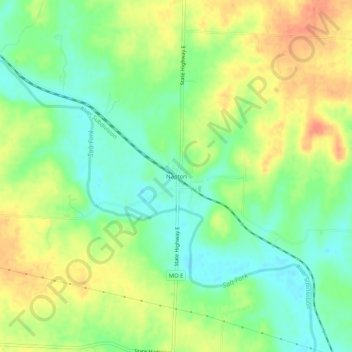
Name: Napton topographic map, elevation, terrain.
Location: Napton, Saline County, Missouri, United States (39.03280 -93.10381 39.07280 -93.06381)
Average elevation: 686 ft
Minimum elevation: 614 ft
Maximum elevation: 764 ft
Other topographic maps
Click on a map to view its topography, its elevation and its terrain.