Geolocate

Raisting topographic map

Click on the map to display elevation.

About this map

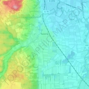
Name: Raisting topographic map, elevation, terrain.

Location: Raisting, Landkreis Weilheim-Schongau, Bavaria, 82399, Germany (47.88270 11.06000 47.92962 11.14416)

Average elevation: 1,847 ft

Minimum elevation: 1,749 ft

Maximum elevation: 2,185 ft

Other topographic maps

Click on a map to view its topography, its elevation and its terrain.

Dessau

Germany > Bavaria > Landkreis Weilheim-Schongau > Burggen

Average elevation: 2,457 ft

Erbenschwang

Germany > Bavaria > Landkreis Weilheim-Schongau

Average elevation: 2,552 ft

Tauting

Germany > Bavaria > Landkreis Weilheim-Schongau

Average elevation: 2,133 ft

Fischen

Germany > Bavaria > Landkreis Weilheim-Schongau

Average elevation: 1,893 ft

Gear up for your next adventure:

🧷Carabiner Set - Durable clips for gear attachment
🧯Emergency Survival Kit - All‑in‑one survival essentials for the backcountry
🎁Geography Themed Gifts - Unique gift ideas for map lovers and geography enthusiasts
🎒Waterproof Dry Bags - Keep your electronics and maps dry inside your pack
🪓Survival Multi‑Tool - Versatile tool for camp and trail tasks

As an Amazon Associate, this site earns from qualifying purchases at no extra cost to you.