
Queimada topographic map
Interactive map
Click on the map to display elevation.
About this map
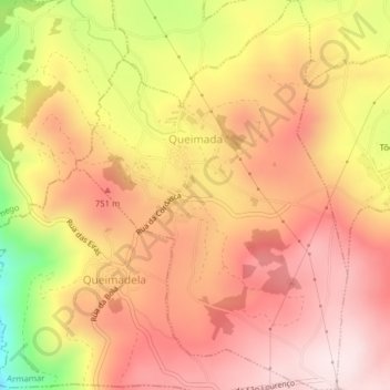
Name: Queimada topographic map, elevation, terrain.
Location: Queimada, Armamar, Viseu, 5110-456, Portugal (41.08028 -7.74881 41.10983 -7.72149)
Average elevation: 2,251 ft
Minimum elevation: 1,293 ft
Maximum elevation: 2,776 ft
Other topographic maps
Click on a map to view its topography, its elevation and its terrain.