
Queimadela topographic map
Interactive map
Click on the map to display elevation.
About this map
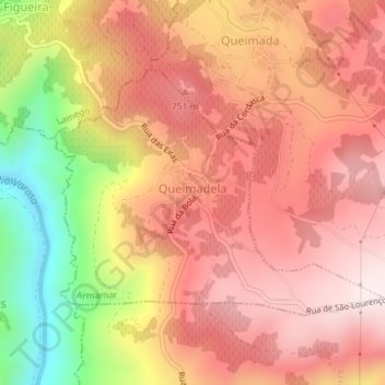
Name: Queimadela topographic map, elevation, terrain.
Location: Queimadela, Armamar, Viseu, Portugal (41.07979 -7.75779 41.09703 -7.72698)
Average elevation: 2,096 ft
Minimum elevation: 984 ft
Maximum elevation: 2,726 ft
Other topographic maps
Click on a map to view its topography, its elevation and its terrain.