
Aldeias topographic map
Interactive map
Click on the map to display elevation.
About this map
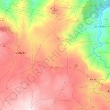
Name: Aldeias topographic map, elevation, terrain.
Location: Aldeias, Armamar, Viseu, Portugal (41.10194 -7.73598 41.13592 -7.69989)
Average elevation: 1,621 ft
Minimum elevation: 351 ft
Maximum elevation: 2,369 ft
Other topographic maps
Click on a map to view its topography, its elevation and its terrain.