
Chepalungu topographic map
Click on the map to display elevation.
About this map
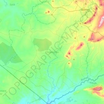
Name: Chepalungu topographic map, elevation, terrain.
Location: Chepalungu, Bomet, Rift Valley, Kenya (-1.03718 35.11652 -0.75545 35.37210)
Average elevation: 6,056 ft
Minimum elevation: 5,558 ft
Maximum elevation: 7,585 ft
Other topographic maps
Click on a map to view its topography, its elevation and its terrain.