Geolocate

Turnerville topographic map

Click on the map to display elevation.

About this map

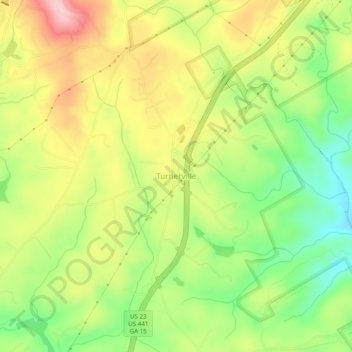
Name: Turnerville topographic map, elevation, terrain.

Location: Turnerville, Habersham County, Georgia, 30580, United States (34.66676 -83.44600 34.70676 -83.40600)

Average elevation: 1,519 ft

Minimum elevation: 1,217 ft

Maximum elevation: 1,850 ft

Habersham County trails, hiking, mountain biking, running and outdoor activities

Other topographic maps

Click on a map to view its topography, its elevation and its terrain.

Baldwin

United States > Georgia > Habersham County

Average elevation: 1,296 ft

Demorest

United States > Georgia > Habersham County

Average elevation: 1,365 ft

Gear up for your next adventure:

🚁Photography Drones - Capture stunning aerial views of landforms and topography
🛰️Satellite Messengers - Emergency SOS and two-way messaging for off-grid adventures
🪶Fire Starter Kit - Reliable fire starter for survival and camping
🧦Hiking Socks - Comfortable socks to prevent blisters on long hikes
🥤Water Filter Bottle - All‑in‑one filter bottle for safe hydration

As an Amazon Associate, this site earns from qualifying purchases at no extra cost to you.