
Trnava topographic map
Click on the map to display elevation.
About this map
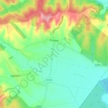
Name: Trnava topographic map, elevation, terrain.
Location: Trnava, Općina Trnava, Osijek-Baranja County, 31411, Croatia (45.22695 18.21984 45.27830 18.29326)
Average elevation: 449 ft
Minimum elevation: 302 ft
Maximum elevation: 735 ft