
San Juan Ridge topographic map
Click on the map to display elevation.
About this map
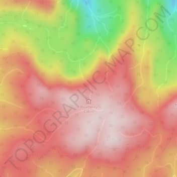
Name: San Juan Ridge topographic map, elevation, terrain.
Average elevation: 2,759 ft
Minimum elevation: 1,703 ft
Maximum elevation: 3,314 ft
Other topographic maps
Click on a map to view its topography, its elevation and its terrain.
Discovery Island
Canada > British Columbia > Capital Regional District > Juan de Fuca Electoral Area
Average elevation: 7 ft
Arden Islet
Canada > British Columbia > Capital Regional District > Juan de Fuca Electoral Area
Average elevation: 164 ft