
日部乡 topographic map
Interactive map
Click on the map to display elevation.
About this map
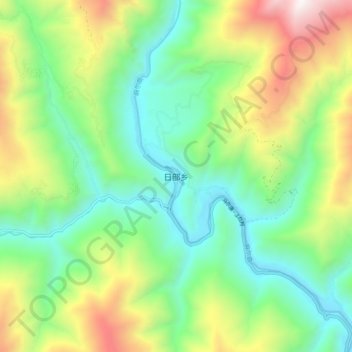
Name: 日部乡 topographic map, elevation, terrain.
Location: 日部乡, 马尔康市, 阿坝藏族羌族自治州, 四川省, 中国 (32.18288 101.57058 32.26288 101.65058)
Average elevation: 10,600 ft
Minimum elevation: 8,684 ft
Maximum elevation: 14,390 ft
Other topographic maps
Click on a map to view its topography, its elevation and its terrain.