
Asclepion topographic map
Interactive map
Click on the map to display elevation.
Asclepion
In the late 18th century, these visits were reinforced by a scholarly (especially ancient historical) desire for research, epitomised by Marie-Gabriel-Florent-Auguste de Choiseul-Gouffier, a traveller in Asia Minor and French ambassador to the Sublime Porte in Istanbul from 1784 to 1791. At the beginning of the 19th century, Charles Robert Cockerell produced a detailed account and Otto Magnus von Stackelberg made important sketches. A proper, multi-page description with plans, elevations, and views of the city and its ruins was first produced by Charles Texier when he published the second volume of his Description de l’Asie mineure.
About this map
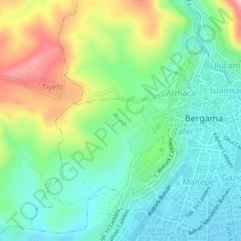
Name: Asclepion topographic map, elevation, terrain.
Average elevation: 410 ft
Minimum elevation: 135 ft
Maximum elevation: 984 ft
Other topographic maps
Click on a map to view its topography, its elevation and its terrain.