
Thank you for supporting this site ❤️
Make a donation
Make a donation
Gear up for your next adventure:
As an Amazon Associate, this site earns from qualifying purchases at no extra cost to you.
Kasei topographic map
Click on the map to display elevation.
Thank you for supporting this site ❤️
Make a donation
Make a donation
Gear up for your next adventure:
As an Amazon Associate, this site earns from qualifying purchases at no extra cost to you.
About this map
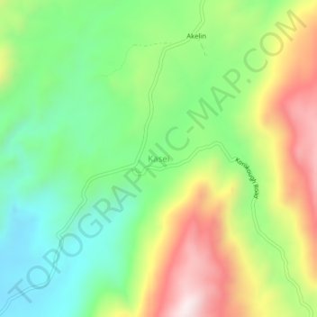
Name: Kasei topographic map, elevation, terrain.
Location: Kasei, Pokot North, West Pokot, Rift Valley, Kenya (1.99062 35.19055 2.03062 35.23055)
Average elevation: 5,623 ft
Minimum elevation: 4,695 ft
Maximum elevation: 7,037 ft
Thank you for supporting this site ❤️
Make a donation
Make a donation
Gear up for your next adventure:
As an Amazon Associate, this site earns from qualifying purchases at no extra cost to you.