
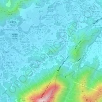
皇后山 topographic map
Interactive map
Click on the map to display elevation.
About this map
Name: 皇后山 topographic map, elevation, terrain.
Location: 皇后山, 北區, 新界, 香港, 中国 (22.50401 114.16293 22.50411 114.16303)
Average elevation: 197 ft
Minimum elevation: 13 ft
Maximum elevation: 1,119 ft
Other topographic maps
Click on a map to view its topography, its elevation and its terrain.