
天山 topographic map
Interactive map
Click on the map to display elevation.
About this map
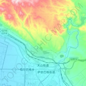
Name: 天山 topographic map, elevation, terrain.
Location: 天山, 库尔勒市, 巴音郭楞蒙古自治州, 新疆维吾尔自治区, 中国 (41.77240 86.07378 41.82758 86.20459)
Average elevation: 3,622 ft
Minimum elevation: 3,028 ft
Maximum elevation: 5,312 ft
Other topographic maps
Click on a map to view its topography, its elevation and its terrain.