Geolocate

St. Libory topographic map

Click on the map to display elevation.

About this map

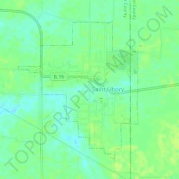
Name: St. Libory topographic map, elevation, terrain.

Location: St. Libory, Saint Clair County, Illinois, 62282, United States (38.35212 -89.72704 38.37286 -89.70401)

Average elevation: 420 ft

Minimum elevation: 397 ft

Maximum elevation: 436 ft

Saint Clair County trails, hiking, mountain biking, running and outdoor activities

Other topographic maps

Click on a map to view its topography, its elevation and its terrain.

Westview

United States > Illinois > Saint Clair County

Average elevation: 489 ft

Roachtown

United States > Illinois > Saint Clair County

Average elevation: 538 ft

Shiloh

United States > Illinois > Saint Clair County > Shiloh > Shiloh

Average elevation: 518 ft

Gear up for your next adventure:

🧭Outdoor Navigation Book - Learn advanced navigation skills
🌐World Map Poster - Decorative world maps with topographic info
🏔️Mountain Trail Maps - High‑detail maps for popular peaks
Backpacking Tent - Lightweight and durable tent for multi‑day hikes
🎒Gear Packing Cubes - Organize your backpack efficiently

As an Amazon Associate, this site earns from qualifying purchases at no extra cost to you.