
Thank you for supporting this site ❤️
Make a donation
Make a donation
Gear up for your next adventure:
As an Amazon Associate, this site earns from qualifying purchases at no extra cost to you.
Montsoflo topographic map
Click on the map to display elevation.
Thank you for supporting this site ❤️
Make a donation
Make a donation
Gear up for your next adventure:
As an Amazon Associate, this site earns from qualifying purchases at no extra cost to you.
About this map
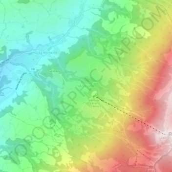
Name: Montsoflo topographic map, elevation, terrain.
Location: Montsoflo, La Roche, Greyerzbezirk, Freiburg, 1634, Schweiz (46.66887 7.13229 46.70887 7.17229)
Average elevation: 3,451 ft
Minimum elevation: 2,254 ft
Maximum elevation: 5,381 ft
Thank you for supporting this site ❤️
Make a donation
Make a donation
Gear up for your next adventure:
As an Amazon Associate, this site earns from qualifying purchases at no extra cost to you.
Other topographic maps
Click on a map to view its topography, its elevation and its terrain.